- | Technology and Innovation Technology and Innovation
- | Research Papers Research Papers
- |
Which States Are Prepared for the Drone Industry? (2021 edition)
The Second Edition of the 50-State Report Card
View the 2022 drone readiness rankings
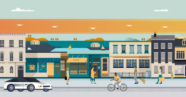
The technology and business of drone services are advancing faster than the legal framework that will regulate them. In part, this is because of a lack of clarity about the federal and state roles over drones and airspace management. A feasible solution to this problem is a federal-state agreement to create aerial corridors directly above public roads—“drone highways.”
In “Which States Are Prepared for the Drone Industry? A 50-State Report Card, Release 2.0,” Brent Skorup and Connor Haaland rank the states based on their laws and drone industry data that indicate their preparedness for drones and drone highways.
How the State Rankings Are Obtained
These five factors (which are followed by their relative weightings) indicate a state’s readiness for commercial drone services and should be the top state priorities.
- Airspace lease law (30 points): Drone highways must be demarcated by regulators and safely separated from airports, homes, schools, and other sensitive locations. Leasing airspace above public property would accelerate drone services because creating flight paths over backyards and private lands raises issues about the taking of private property.
- Law vesting air rights with landowners (10 points): This clarifies that the state is exercising its police powers and defining property rights—and puts drone operators and residents on notice about the extent of those rights. Where state or local authorities own public rights-of-way, air rights laws recognize their property interest in the aerial corridors above public roads.
- Avigation easement law (25 points): This allows drones to operate as long as they are high enough not to bother landowners and passersby. If the state or municipality does not own aerial corridors above public roads, drones can still generally access the aerial easements if state officials demarcate drone highways above public roads.
- Drone task force or program office (20 points): These bodies help anticipate (and address) issues such as zoning rules, noise limits, time-of-day restrictions, insurance, and privacy for private dwellings.
- Drone jobs estimate (15 points): The number of drone jobs per 100,000 residents is a proxy for soft factors (e.g., a college offering drone programs or workers in the aerospace industry) that can position states for future jobs and services growth.
Key Takeaway
This report card provides general guidance for state governments to appraise their readiness to implement drone highways. The early bird gets the worm: States that move quickly to adopt a suitable institutional framework to operate drone highways will get the most benefits from the drone economy.

